Little Deschutes River
Little Deschutes River
Oregon
The Little Deschutes River offers outstandingly remarkable scenery, vegetation/botany, geology, and wildlife. It flows through a classic glacial canyon with moraines and an outwash plain. The interaction of present-day erosional processes with the pumice and ash deposited during Mt. Mazama’s eruption 6,800 years ago provides an opportunity for geomorphic study. The river is also noted for its scenic variety and vegetative character.
Designated Reach
October 28, 1988. From its source in the northwest 1/4 of Section 15, T26S, R6E, to the north section line of Section 12, T26S, R7E.
Outstandingly Remarkable Values
Botany
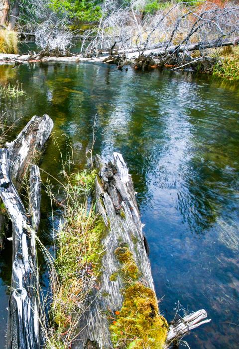
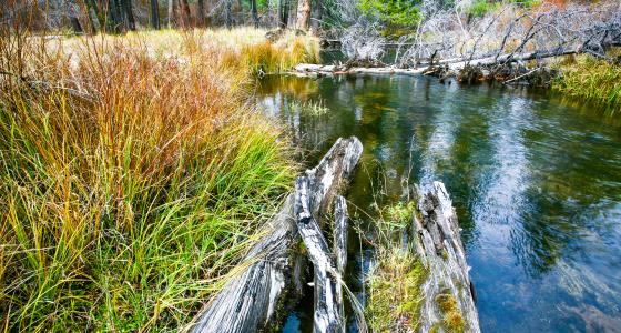
A variety of native and desirable non-native vegetation can be found in the corridor, with thriving riparian communities in the aquatic zones. There is a wide variety of riparian vegetation which includes grasses, sedges, willows, and some minimal conifer encroachment. Noxious weeds and other undesired non-native species are rarely found. In the river terrace adjacent to riparian areas, vegetation is dominated by lodgepole forest. Moving up the slopes of the river canyon, the vegetation is dominated by coniferous forest. These forests are healthy and resilient to periodic disturbances from fire, insects, or disease.
Geology
The Little Deschutes River provides water of excellent quality and has consistent flows. The Little Deschutes River Canyon, which is the longest and deepest on the east flank of the Oregon Cascades, maintains its representation/character of a classic glacial canyon with moraines and an outwash plain. Overlays of Mt. Mazama ash, combined with the erosional processes of the river, provide unique education opportunities.
Scenery
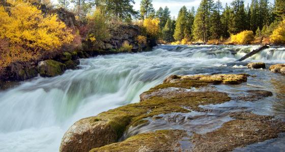
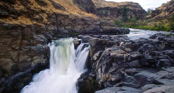
The Little Deschutes River provides a variety of views. The upper portion reveals a deep canyon with steep walls and impressive views of rough rock outcrops. This same physical character and topography that limits views also focuses attention on the river’s unique features, such as loop meanders, meander scars, and oxbow channels. The canyon walls provide a sense of seclusion and rugged outcrops break up the forest scene.
Great care is taken to maintain this magnificent scenery. Vegetation management activities are unobtrusive and blend with the natural landscape. Facilities in place for the protection of river values are rustic in character and do not detract from the natural surroundings.
Wildlife
The upper reaches of the canyon provide remoteness and solitude for species that require these undisturbed conditions. Maintaining a healthy riparian zone results in high-quality habitat.


