Rogue (Upper) River
Rogue (Upper) River
Oregon
From the Crater Lake National Park boundary downstream to Prospect, this section of the Rogue is paralleled by a major highway and tourist route from the park. Its diverse landscape includes pumice flats, deep gorges and chutes, and unique ecological systems.
Designated Reach
October 28, 1988. From the Crater Lake National Park boundary downstream to the Rogue River National Forest boundary at Prospect.
Outstandingly Remarkable Values
Fish
For decades, the Rogue River has been recognized internationally as a “fish highway.” It is revered by anglers around the world as a premier fishery for steelhead and salmon.
Recreation
Hiking, camping, photography, hunting, fishing, whitewater boating, scenic driving, and birdwatching are among the many recreational opportunities along the Rogue River. The entire length of the upper Rogue River is closely followed by the Upper Rogue River Trail, designated a National Recreation Trail. Because of the various road crossings, much of this hiker-only trail (open to equestrians for short sections near Hamaker Campground) is easily traveled for short segments at a time.
The upper Rogue River is considered challenging for whitewater boating due to its gorges, chutes, and many obstructions, ranging from “sweeper” logs across the river to the underground section at Natural Bridge. For the entire wild section of the upper Rogue and some portions of the scenic sections, no boating is the recommendation due to ever-changing instream hazards. Certain portions of the main scenic section of the upper Rogue can be floated, with hard-shell kayaks being the most appropriate and preferred craft on this challenging section with always changing instream hazards. This is a river for experienced-to-expert boaters.
Scenery
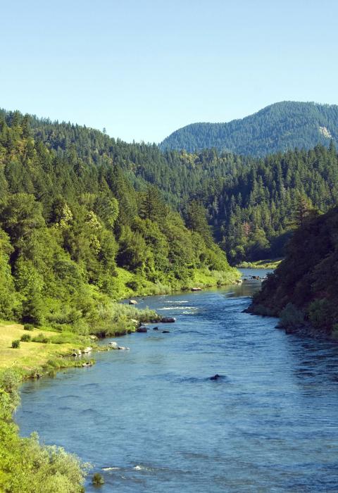
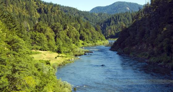
The Rogue River is the very definition of breathtaking scenery. From its headwaters near Crater Lake all the way west to the Pacific Ocean at Gold Beach, outstanding views abound. The upper Rogue is fed by snowmelt and springs originating in the peaks of the Cascade Range, including the slopes of Mt. Mazama, the volcanic caldera that contains Crater Lake. Along the uppermost portion of the upper Rogue, the river is narrow and shallow but very swift. Numerous moss-draped snags of lodgepole pines and other trees that have fallen across the river slow its pace only a little. The river has, for a two-mile stretch, carved more than 200' down into the Mazama pumice (which was deposited about 8,000 years ago during the explosion that created Crater Lake). This sheer, white-walled canyon, with the whitewater river glinting in the sunlight far below, is a favorite sight for travelers along Highway 230.
Managing Partners And Contacts
Classification/Mileage
Video
Pristine. Free-flowing. Protected. Oregon’s Rogue River is one of the original eight rivers named in the Wild and Scenic Rivers Act of 1968. In 2018, America celebrated the 50th Anniversary of this landmark legislation which helped preserve our country’s most cherished waterways for all of us to enjoy.
2015 was the 50-year anniversary of the Wild and Scenic Rivers Act. Passed by Congress and signed into law by President Lyndon B. Johnson, the Wild and Scenic Rivers Act ensures that designated rivers across the USA be protected from dams, over-development, and other obstructions that would keep them from flowing freely. John Williams takes you to several of the Northwest's Wild and Scenic Rivers to show you various accessible recreations.
The River Wild was filmed on several rivers — the Charles River in Cambridge, Massachusetts; Rogue River just outside the town of Medford, Oregon; and the Middle Fork of the Flathead River in Montana all had some footage shot. However, the big rafting action scenes took place on Montana’s Kootenai River. Permission to film in this region was granted for the very first time by the Kootenai Indians who hold this ground to be sacred. There was one caveat to the film crew receiving permission to film here: the actual location where shooting took place was never to be disclosed to the public.
Hang on tight for a suspense-filled action-thriller starring Oscar-winner Meryl Streep in a stunning performance that will take your breath away! Streep portrays a former river guide who arranges a white-water rafting trip to celebrate her son's birthday and salvage her shaky marriage. Her skills and courage are soon put to the test when three mysterious strangers threaten to turn their vacation into a living hell. Also starring Kevin Bacon and David Strathairn, this "pulse-pounding thrill ride" (Rolling Stone Magazine) explodes with action, suspense and unforgettable storytelling from the director of L.A. Confidential.


