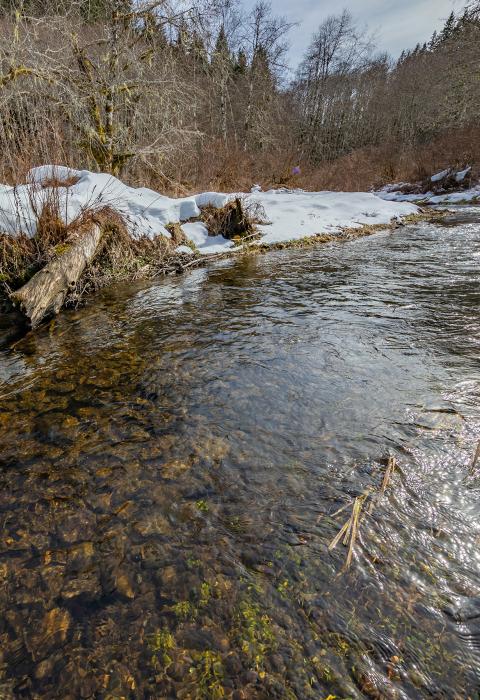
Walker Creek
Oregon
A tributary of the upper Nestucca River, Walker Creek generally flows east and north from its headwaters in the Oregon Coast range to its confluence just below the McGuire Dam in northwest Yamhill County. Intrepid visitors can explore the headwaters of Walker Creek by accessing the area from the Bureau of Land Management’s Nestucca River National Backcountry Byway. Access to the lower end of Walker Creek is along the Nestucca Access Road which parallels the Nestucca River below the dam. Also an Oregon designated State Scenic Waterway, Walker Creek was added to the state system in 1988.
Designated Reach
March 12, 2019. From its headwaters in T 3 S, R 6 W, Section 20 downstream to the confluence with the Nestucca River.
Outstandingly Remarkable Values
Preliminary Finding
Botany
The largest population of the threatened Nelson’s checker mallow (Sidalcea nelsoniana) in the Oregon Coast Range is located within the corridor of Walker Creek.
Preliminary Finding
Ecology
Walker Creek includes an exemplary example of a rare high-elevation wetland meadow and mature and old-growth forests. It functions as an important supplier of clean, cold water to the Nestucca River.
Preliminary Finding
Fish
The clean, cold water and free-flowing conditions of Walker Creek support a wild runs of coho salmon, chinook salmon, and winter and summer steelhead.

