Noatak River
Alaska
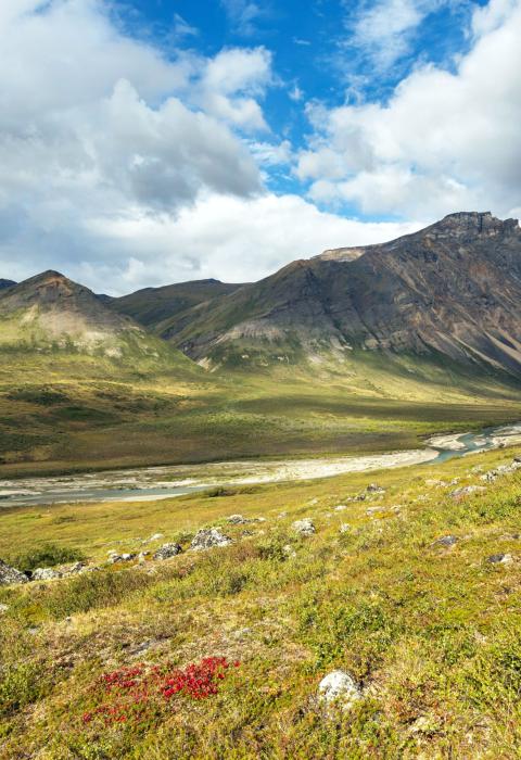
Situated in Gates of the Arctic National Park and Preserve and the Noatak National Preserve, the Noatak River drains the largest mountain-ringed river basin in America that is still virtually unaffected by human activities. The Noatak is one of the longest designated rivers in Alaska. Entirely above the Arctic Circle, it traverses alpine tundra, rolls through canyons and over plains, and ends up in a flat coastal delta where it drains into Kotzebue Sound.
Designated Reach
December 2, 1980. The river from its source in Gates of the Arctic National Park to the Kelly River in the Noatak National Preserve.
Outstandingly Remarkable Values
Prehistory
The Noatak was used as a transportation route by Native people for thousands of years. The headwaters contain a dense concentration of archeological sites that span at least 6,000 years. Some of the most significant prehistoric sites within Gates of the Artic National Park and Preserve are along the river.
Recreation
The river is one of the longest designated wild and scenic rivers in Alaska and provides great opportunities for floating, sightseeing, and wildlife viewing. The Noatak River provides easy to moderate floating through glacial valley.
Scenery
The terrain along much of the Noatak River is vast and open, providing ample opportunities for viewing wildlife and glacial valleys surrounded by snowcapped peaks.

