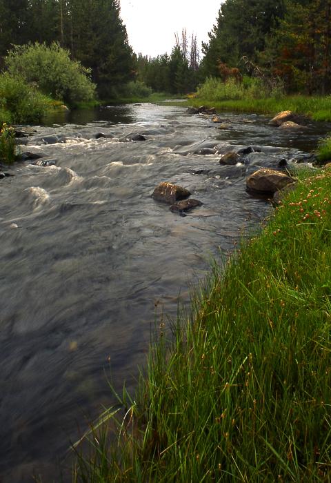
North Fork Sprague River
Oregon
The North Fork of the Sprague flows out of the Gearhart Mountain Wilderness through broad, high-elevation meadows, before dropping into a steep basalt canyon. The river canyon offers views of a variety of plant life within the steep, narrow canyon. Vegetation color ranges from the green riparian areas, to the grey of the sagebrush covered slopes to the deep emerald of the forested areas, with lots of seasonal variation. The river canyon below Sandhill Crossing Campground is a steep V-shaped canyon with talus slopes and high-volume springs. A wide variety of recreational activities occur within the corridor. These include fishing, hiking, hunting, horseback riding, camping, picnicking, and floating or rafting during periods of high water. Opportunities for solitude are high on the Sprague River.
Designated Reach
October 28, 1988. From the head of River Spring in the southwest 1/4 Section 15, T35S, R16E to the northwest 1/4 of southwest Section 11, T35S, R15E.
Outstandingly Remarkable Values
Geology
The lower part of the designated river is a narrow, steep, V-shaped basaltic canyon with slopes that range from a 30 to 80 percent drop. Undisturbed talus slopes and outcroppings of bedrock are common. Several springs and tributaries burst from the canyon walls and each cascades beautifully down the landscape. These types of springs are the result of the geologic action of the river called downcutting, and it exposes water flows beneath the earth surface.
Scenery
The green colored hues of the riparian vegetation create a beautiful contrast to the brown/grey colors of the rocky outcroppings in the canyon. Seasonal variations in color come from vibrant wildflowers and the budding of deciduous trees and shrubs in the spring to the changing fall colors. The upper part of the designated segment contains a series of meadows that are bordered by stands of lodgepole pine. The green meadows, combined with the colors from the wildflowers and the surrounding darker green forested areas, provide spectacular scenery. Later in the year, the river flowing through these meadows, combined with limited livestock grazing, creates a classic pastoral setting.

